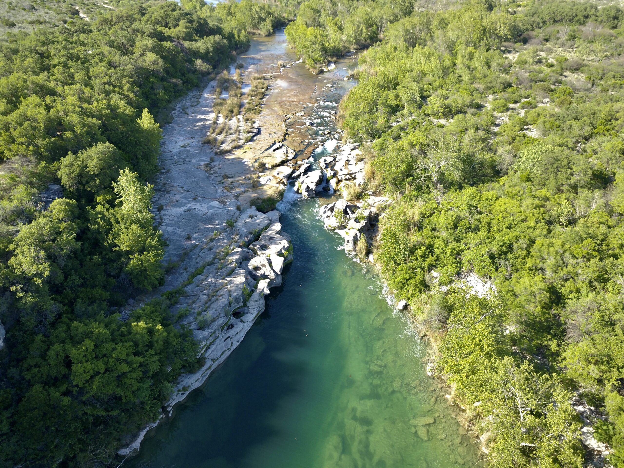
Our aerial drone mapping services offer a bird’s-eye view of landscapes, allowing for accurate habitat assessments, vegetation analysis, and ecosystem monitoring.
Lupine Land Services Certified FAA Commercial Drone Pilot provides valuable imagery for acquiring correct and current mapping data specifically tailored to your mapping needs.
Our aerial drone services include:
Using advanced aerial drone mapping technology, we deliver precise habitat assessments, vegetation analysis, GIS-ready land data, and ecosystem monitoring solutions for private landowners and conservation projects.
Pre & Post-Construction Monitoring:
Before ground is broken, we document existing site conditions — vegetation cover, drainage features, wildlife habitat — so you have a clear baseline on record. After construction, we return to document changes, verify mitigation measures, and support compliance reporting. Particularly valuable for developers and environmental consultants managing sensitive habitat or permit conditions.
WHERE WE WORK:
We work all within the Central Texas region. Please contact us to discuss your drone and aerial mapping needs.

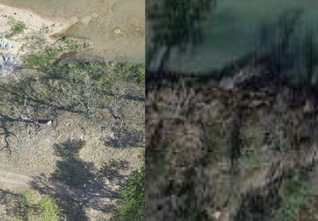
Aerial Photography High-resolution still imagery captured from a certified FAA commercial drone — far more current and detailed than anything available from Google or county appraisal district records. Useful for wildlife management plan maps, habitat documentation, property marketing, and appraisal district submissions. If your plan requires current aerial imagery of your property, this is the most accurate way to get it.
Orthomosaic Mapping We stitch together dozens of overlapping aerial images into a single, accurate, to-scale map of your property. Unlike a standard photo, an orthomosaic is geometrically corrected and measurable — you can take distances, calculate acreages, and overlay it with other spatial data. Delivered as a georeferenced file compatible with GIS software and standard mapping platforms.
Ranch & Property Mapping Whether you’re managing 50 acres or 5,000, current aerial maps are one of the most practical tools for land management planning. We map property boundaries, water features, brush encroachment, roads, fence lines, and habitat zones — giving you and your wildlife biologist an accurate, up-to-date picture of what’s on the ground. Especially useful for Wildlife Management Plan documentation and annual reporting.
Drone imagery provided by Lupine versus imagery provided by Google: